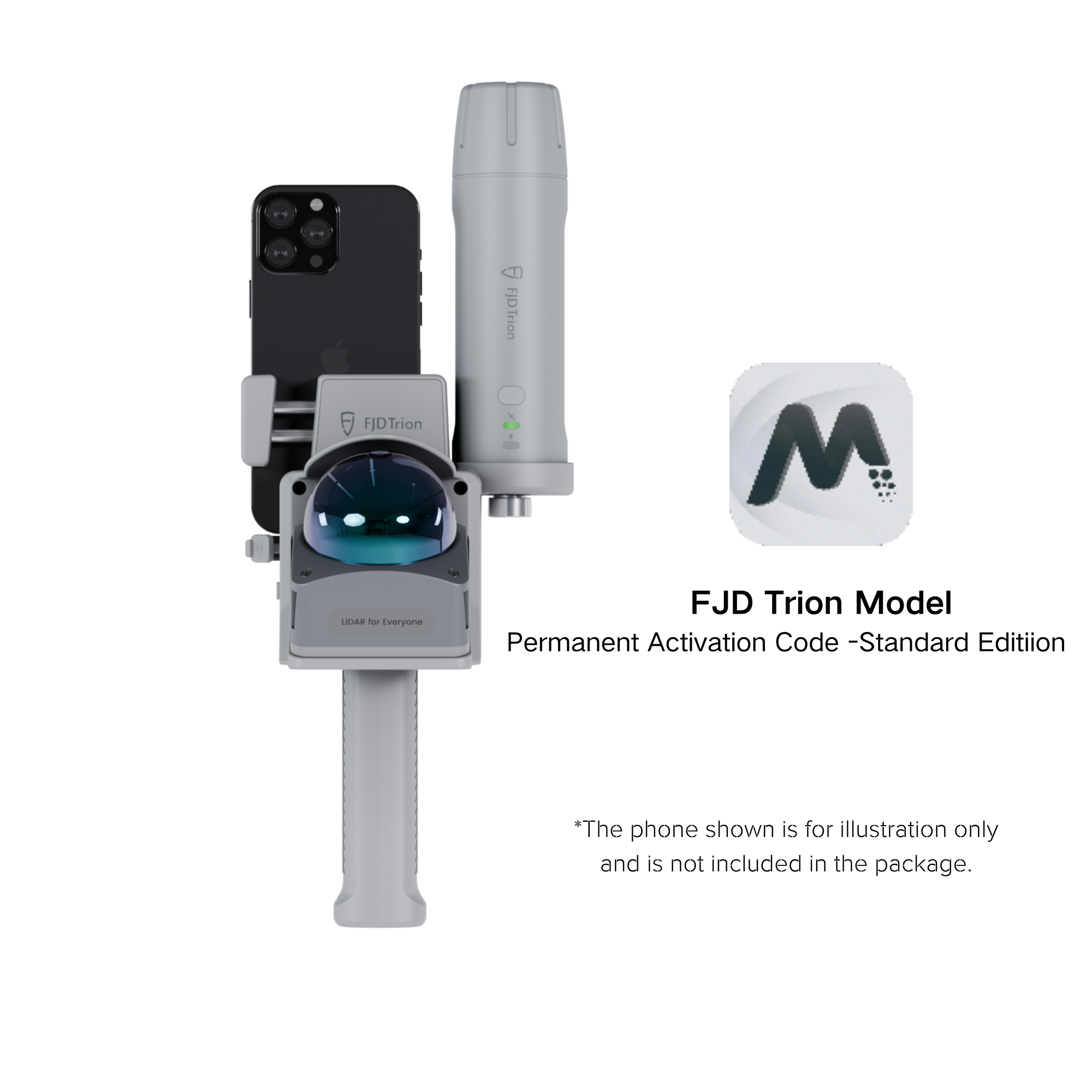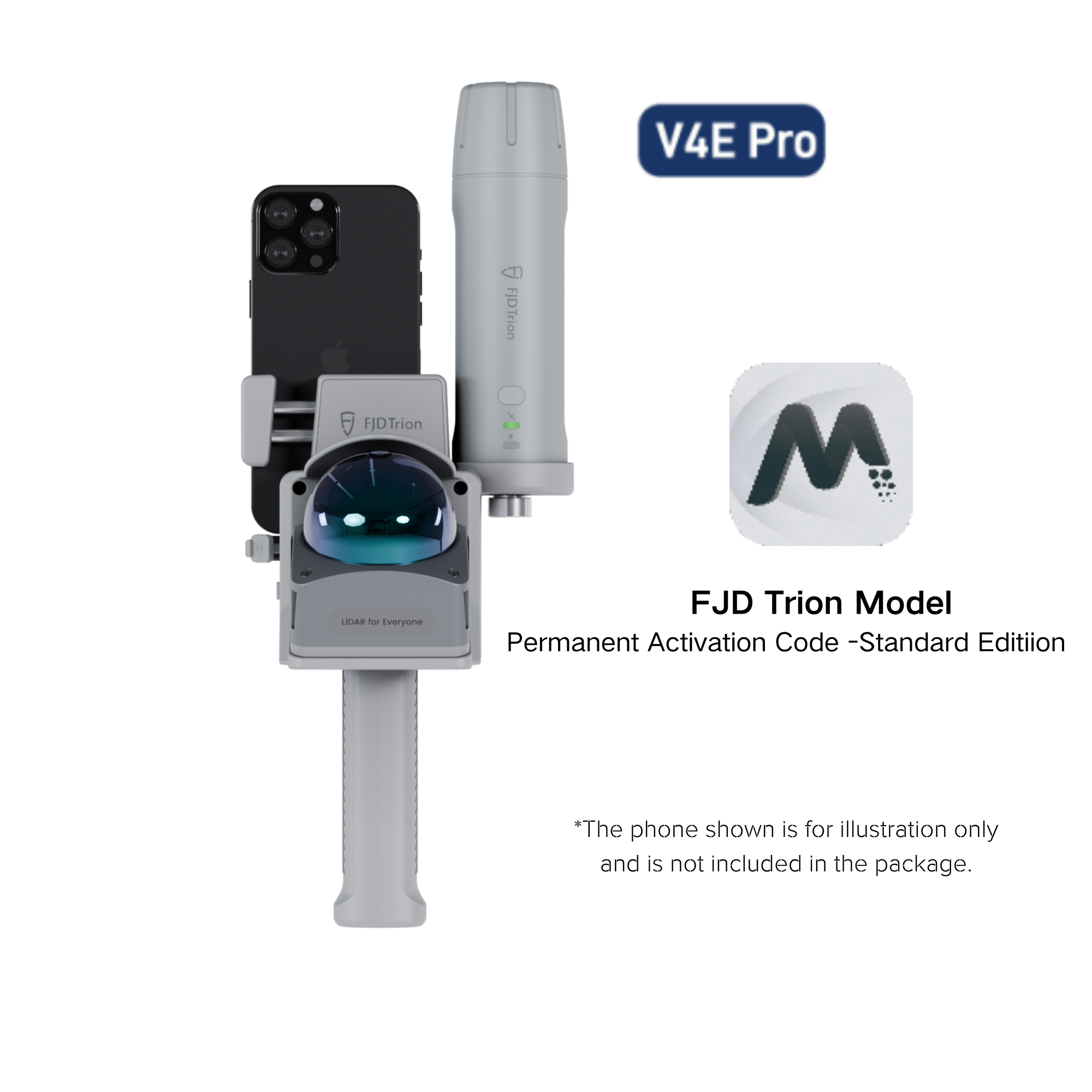


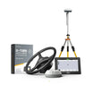
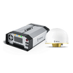


FJD Trion V4e & V4e Pro Mini RTK Receiver
Compact RTK GNSS Positioning with Centimeter-Level Accuracy
The FJD Trion V4e Mini RTK Receiver is a compact, lightweight GNSS receiver designed to deliver reliable centimeter-level positioning for professional applications.
It helps users capture accurate location data quickly and efficiently—whether in the field, on construction sites, or integrated into automated systems.
Why Choose the V4e Mini RTK Receiver?
Accurate positioning is the foundation of reliable data. Compared with standard GPS solutions, the V4e Mini RTK provides significantly higher accuracy and stability, enabling confident measurements and repeatable results.
Key benefits include:
- Centimeter-level RTK accuracy
- Full-band GNSS support for stable positioning
- Lightweight and portable design
- Easy integration with mobile devices and workflows
Designed for Real-World Applications
The V4e Mini RTK Receiver is built to support a wide range of professional use cases:
Precision Agriculture
Improve field operations with accurate positioning for guidance, mapping, and automation.
Surveying & Construction
Support layout, measurement, and site documentation workflows that require consistent, high-accuracy coordinates.
Robotics & Automation
Provide precise positioning data for robotic mowers, autonomous platforms, and navigation systems.
Mobile Mapping
Pair with handheld devices or mobile scanning solutions to georeference spatial data efficiently.
Simple RTK Advantage Explained
| Positioning Method | Typical Accuracy | Suitable for Professional Use |
|---|---|---|
| Standard GPS | Meter-level | Limited |
| V4e Mini RTK | Centimeter-level | Yes |
With RTK correction, the V4e Mini transforms raw GNSS signals into high-precision positioning, reducing uncertainty and improving confidence in every measurement.
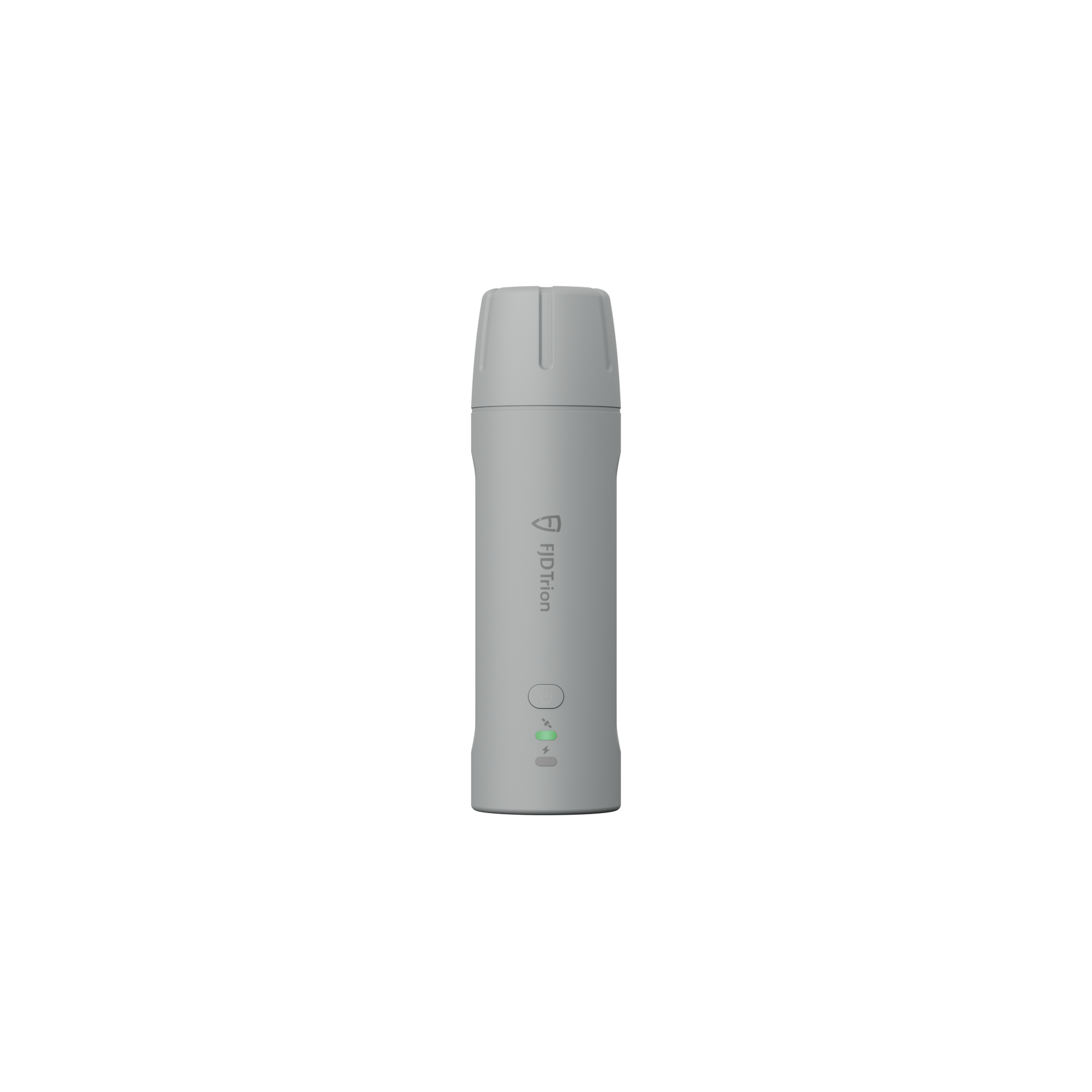
Compact, Lightweight, and Easy to Use
Designed for portability, the V4e Mini RTK Receiver weighs only 320 g, making it easy to carry, mount, and deploy in the field.
Its compact form factor allows it to integrate seamlessly into existing workflows without adding complexity.
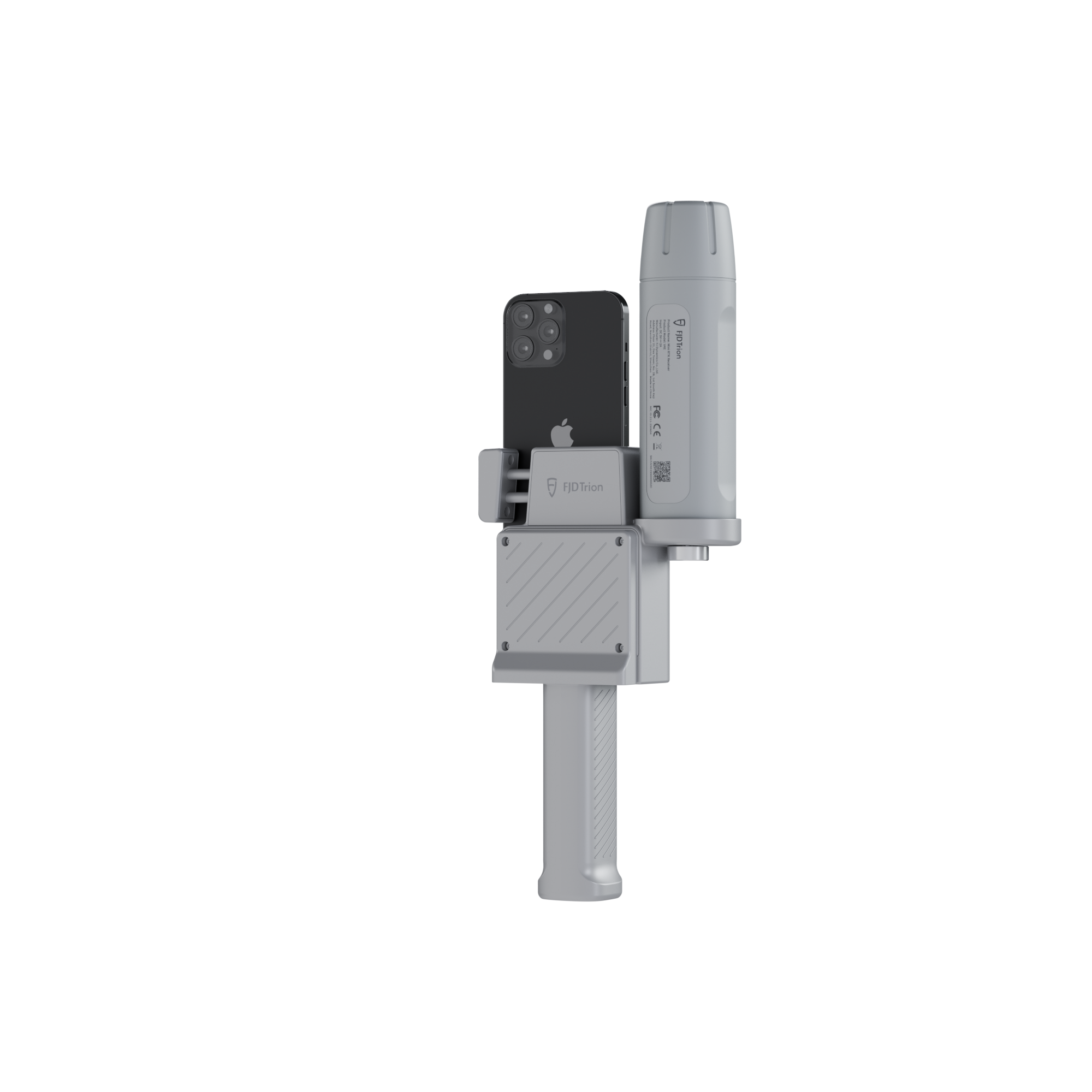
Works Seamlessly with Other Solutions
The V4e Mini RTK Receiver can be used independently or paired with compatible devices and systems, including:
- Mobile phones and tablets
- Handheld LiDAR scanners
- Robotic and automated platforms
This flexibility allows users to scale their workflows as project requirements evolve.
Built for Professionals Who Value Accuracy
Whether you are optimizing agricultural operations, improving construction accuracy, or enabling precise robotic navigation, the FJD Trion V4e Mini RTK Receiver delivers the positioning reliability needed to make better, data-driven decisions.
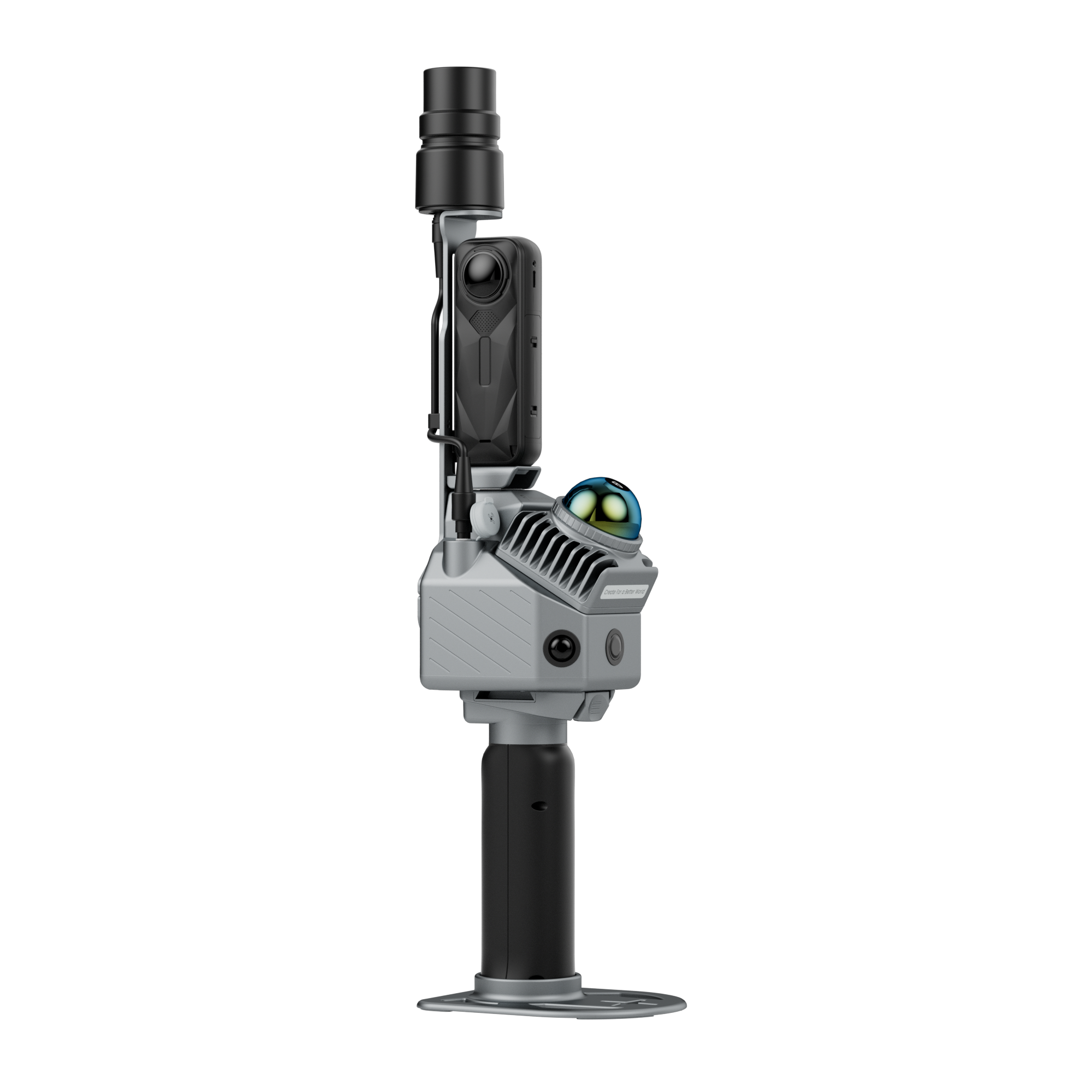
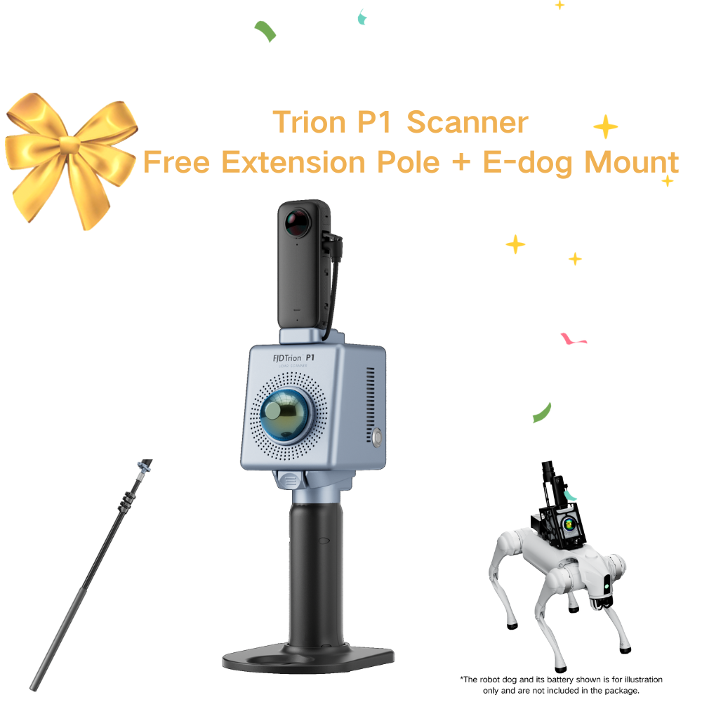
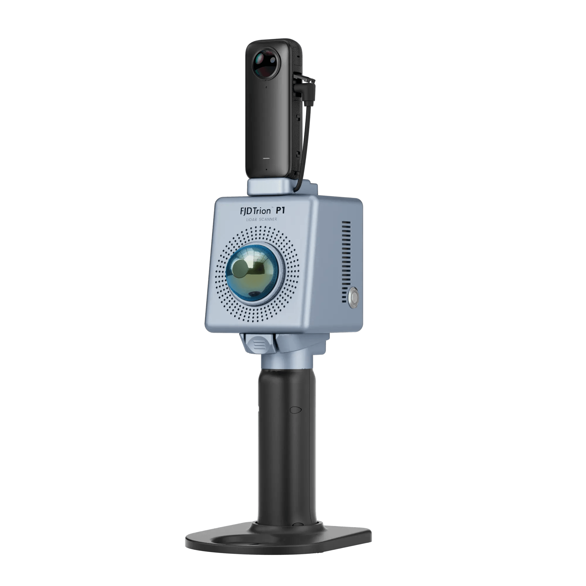
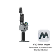
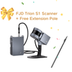
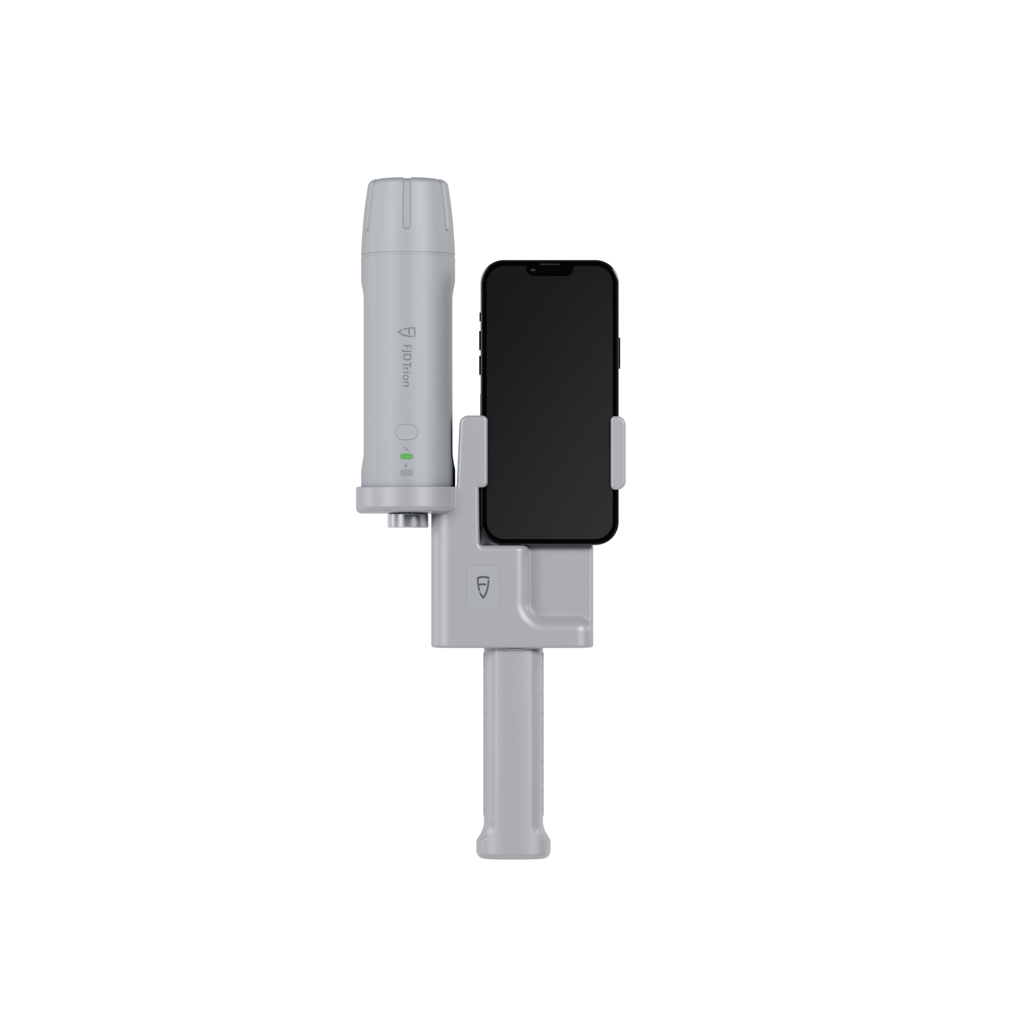
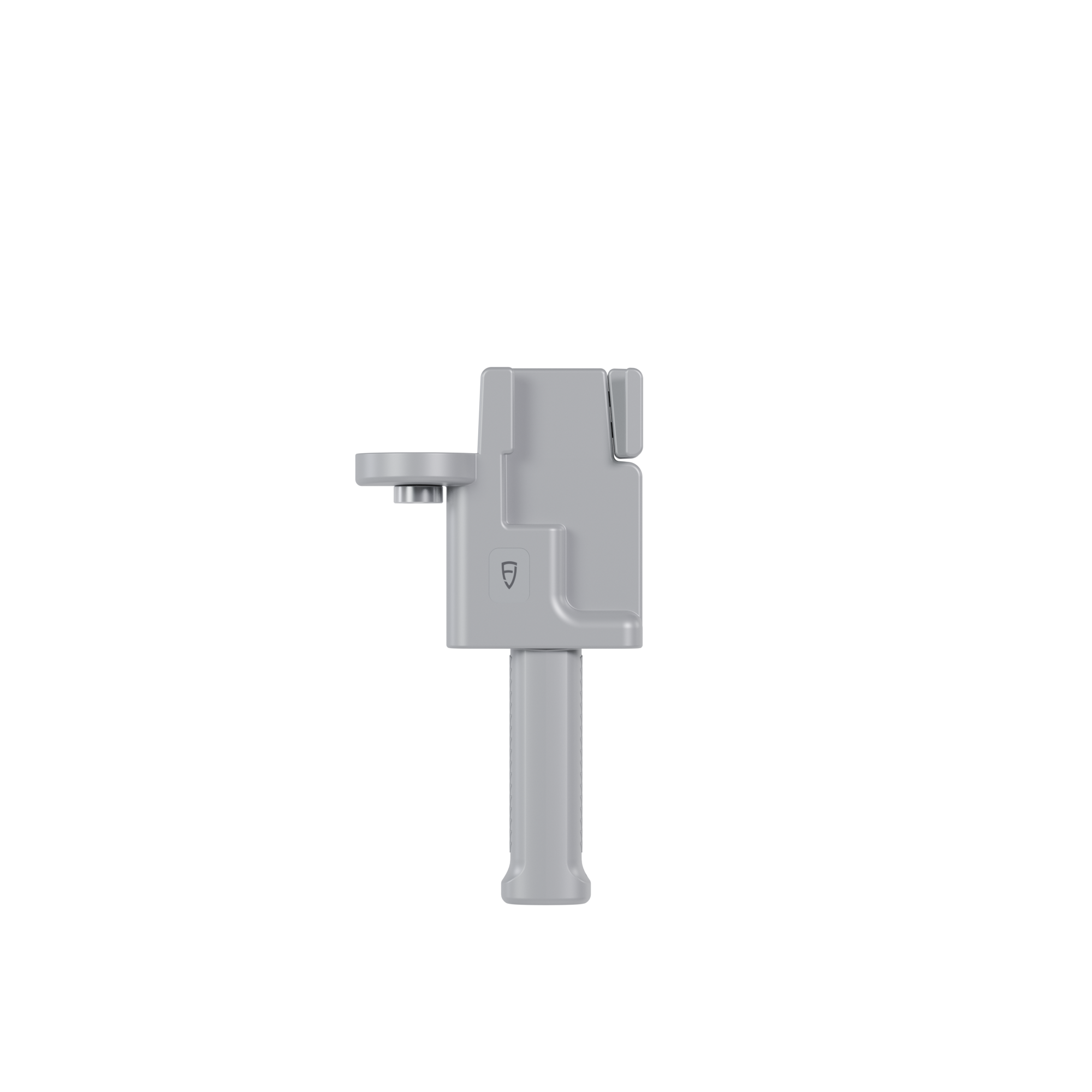
Designed to work with FJD Trion V4e LiDAR.

![]() Get it between -
Get it between -


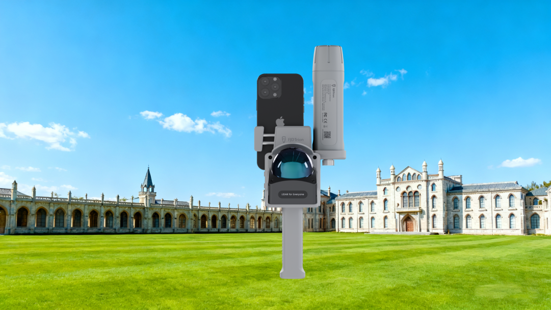
Small in Hand, Boundless on Land
The FJD Trion V4e Mini RTK Receiver breaks the boundaries of traditional GNSS receivers with handheld convenience and portable precision. Weighing only 320g, the V4e delivers centimeter-level positioning without centering rods, making it perfect for individuals, teams, and professionals on the go. Easy to use and budget-friendly, it can instantly unlock the power of high-accuracy surveying.

Main Features
 Global Constellations Supported 1408 Channels |  H≤0.8 cm+1 ppm V<1.5cm+1 ppm |  Pocket-Sized Only 320g |
 Battery Life ≥12h Charging Time <3h |  1.2m Anti-Drop |  Startup Time Cold: <30s, Hot: <5s, RTK Init:5s |
Key Benefits
 | Small Size, Big PowerDeliver centimeter-level accuracy with ±1.5 cm static precision. It supports 1408 channels and covers all GNSS constellations, including GPS, BDS, GLONASS, Galileo, QZSS, and SBAS. Weighing only 320g, the V4e offers broad compatibility with popular correction services, supporting NTRIP connectivity with RTCM 2.3, RTCM 3.x, and CMR. |
No Pole, No ProblemCompensate for tilt angles up to 30° (PRO version) with a built-in IMU, so you don't need to hold it perfectly straight. This gives you ≤3cm accuracy at a 3m distance without a leveling rod. Its onboard LiDAR rangefinder in the PRO version also achieves ±3mm precision at a 10m distance for precise point targeting. |  |
 | Built Tough for All-Day EfficiencyStay powered up for the entire workday. It can run for over 12 hours and takes less than 3 hours to charge. You can even keep the V4e working while charging it with a power bank, so your work is never interrupted. |
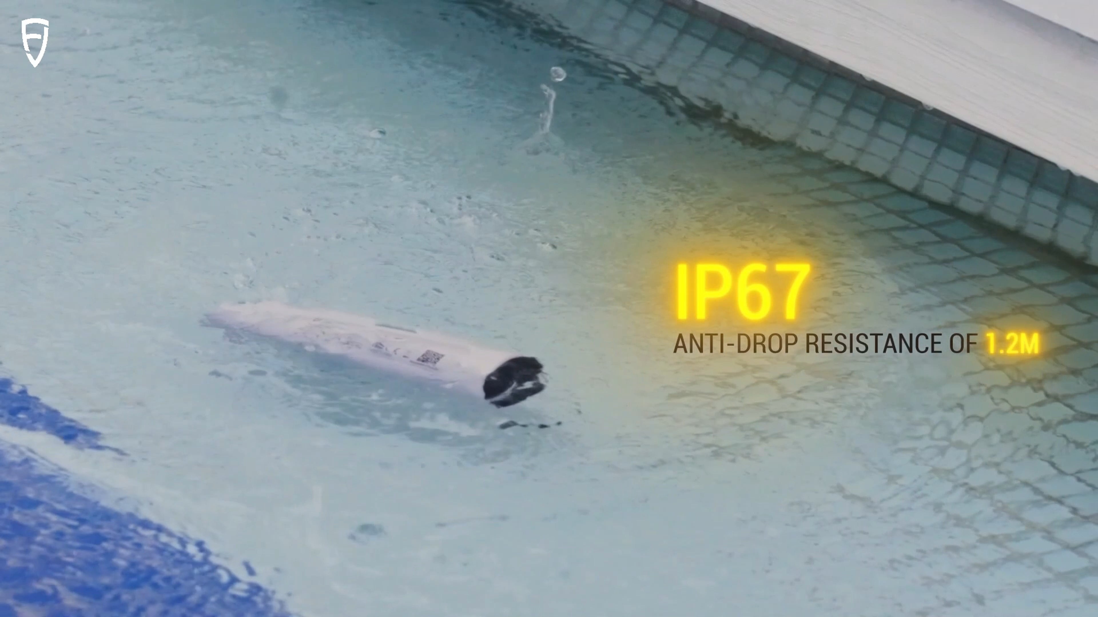
Protected. Durable. Reliable.With IP67-rated protection against water and dust, and 1.2-meter drop resistance, the V4e is built to withstand tough environments. It keeps working reliably even when exposed to dust or accidental drops, ensuring consistent accuracy for your outdoor projects. |  |
 | EASIER ACCESS TO FJD TECH ECOSYSTEMAccess the FJD ecosystem quickly for a smooth workflow from field to machine. The GNSS data you collect with the V4e in the field can be directly used by FJD's farming autosteering systems, robotic mowers, and other smart devices for automated tasks. You don't have to convert the data, allowing you to work faster and reduce mistakes. * Beyond the FJD ecosystem, its open design also supports customization to fit your unique needs. |
Small Size, Big Power
Deliver centimeter-level accuracy with ±1.5 cm static precision. It supports 1408 channels and covers all GNSS constellations, including GPS, BDS, GLONASS, Galileo, QZSS, and SBAS. Weighing only 320g, the V4E offers broad compatibility with popular correction services, supporting NTRIP connectivity with RTCM 2.3, RTCM 3.x, and CMR.No Pole, No Problem
Compensate for tilt angles up to 30° (PRO version) with a built-in IMU, so you don't need to hold it perfectly straight. This gives you ≤3cm accuracy at a 3m distance without a leveling rod. Its onboard LiDAR rangefinder in the PRO version also achieves ±3mm precision at a 10m distance for precise point targeting.Built Tough for All-Day Efficiency
Stay powered up for the entire workday. It can run for over 12 hours and takes less than 3 hours to charge. You can even keep the V4E working while charging it with a power bank, so your work is never interrupted.Protected. Durable. Reliable.
With IP67-rated protection against water and dust, and 1.2-meter drop resistance, the V4E is built to withstand tough environments. It keeps working reliably even when exposed to dust or accidental drops, ensuring consistent accuracy for your outdoor projects.EASIER ACCESS TO FJD TECH ECOSYSTEM
Access the FJD ecosystem quickly for a smooth workflow from field to machine. The GNSS data you collect with the V4E in the field can be directly used by FJD's farming autosteering systems, robotic mowers, and other smart devices for automated tasks. You don't have to convert the data, allowing you to work faster and reduce mistakes.* Beyond the FJD ecosystem, its open design also supports customization to fit your unique needs.
Why Choose RTK

Application Scenarios
 Topographical Survey |  Construction & BIM |  Utilities & Public Works |
 Road Surveying |  Forestry & Agriculture |  Quick Robotic Integration |
Topographical Survey
Construction & BIM
Utilities & Public Works

Road Surveying
Forestry & Agriculture
Quick Robotic Integration
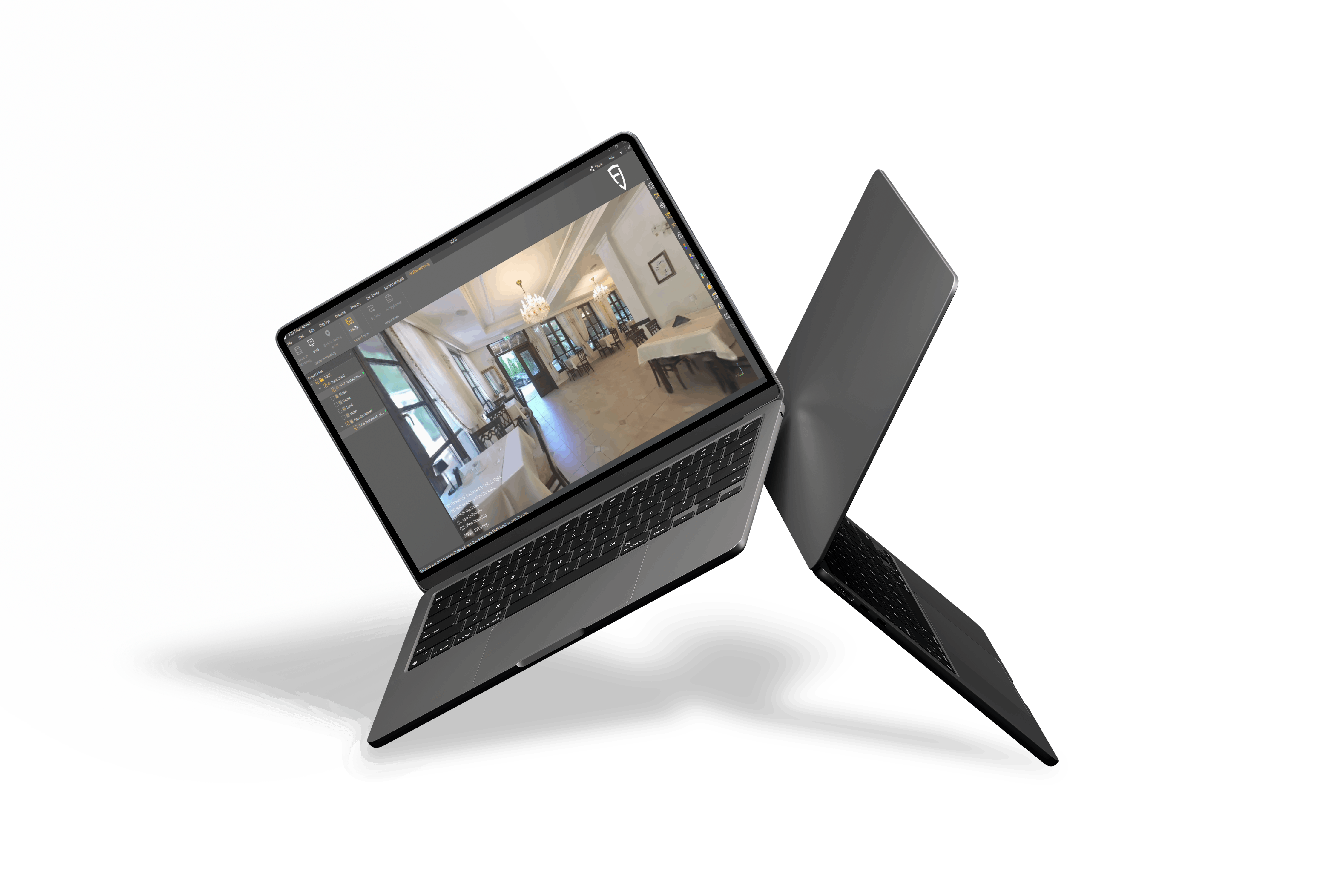
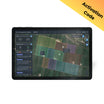
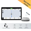
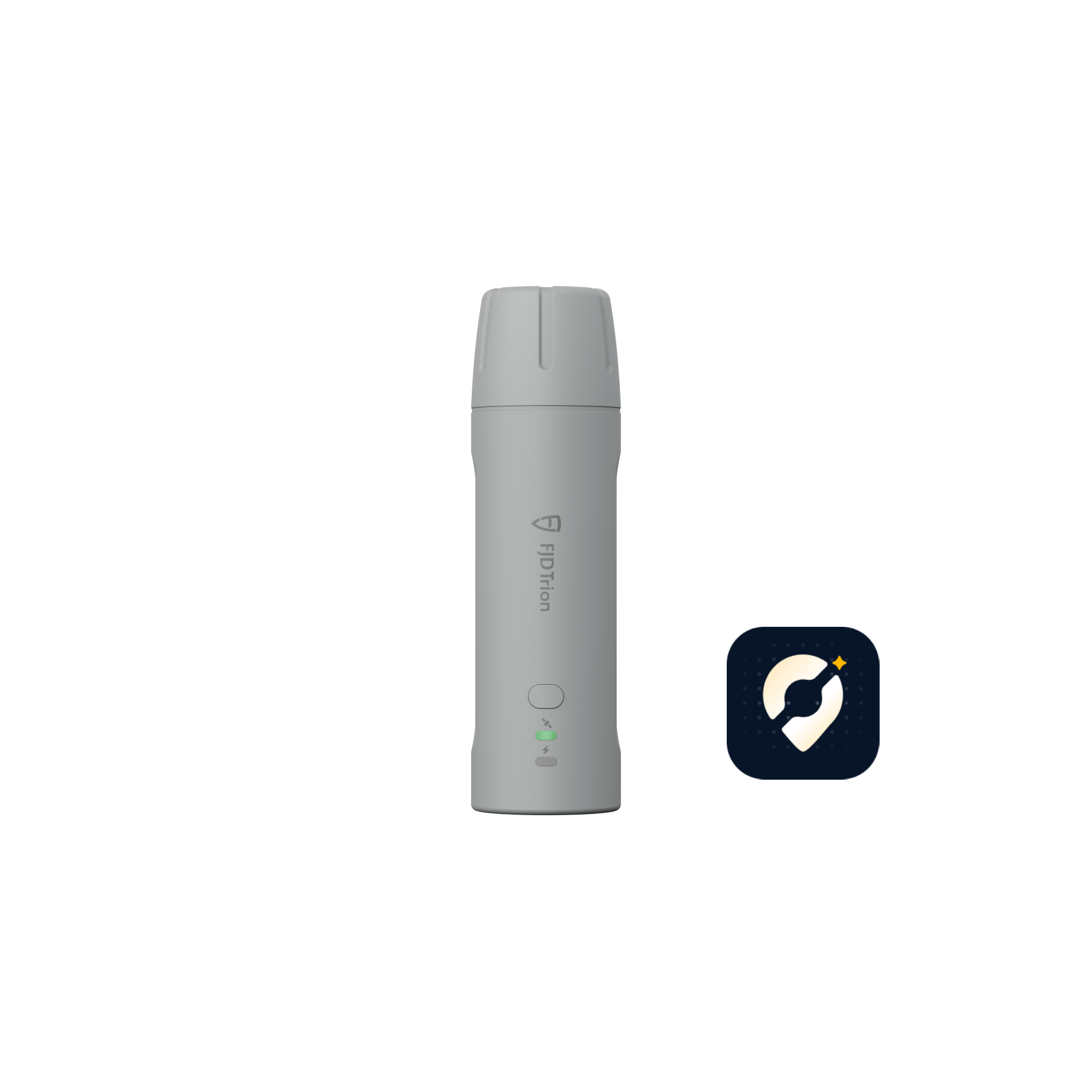
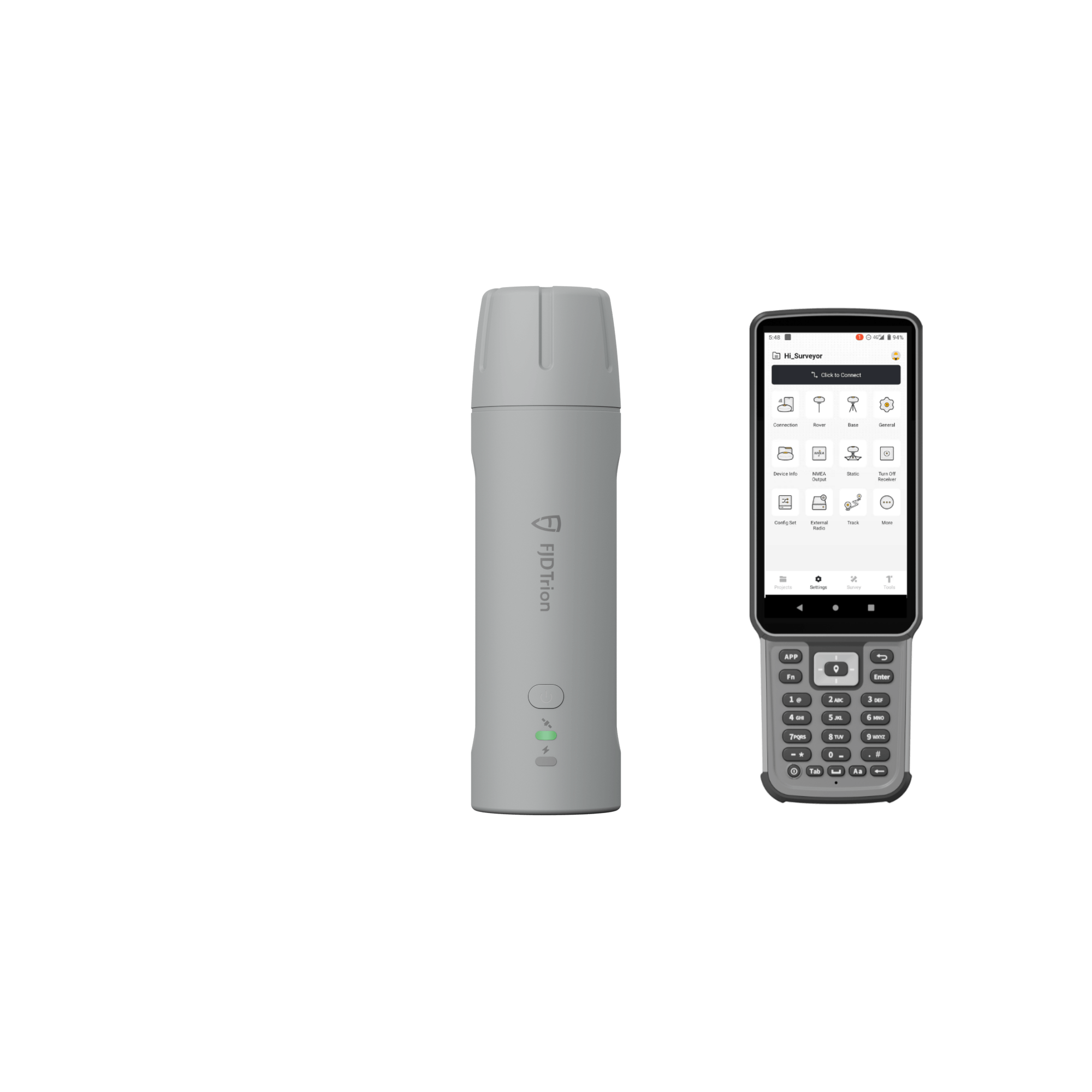
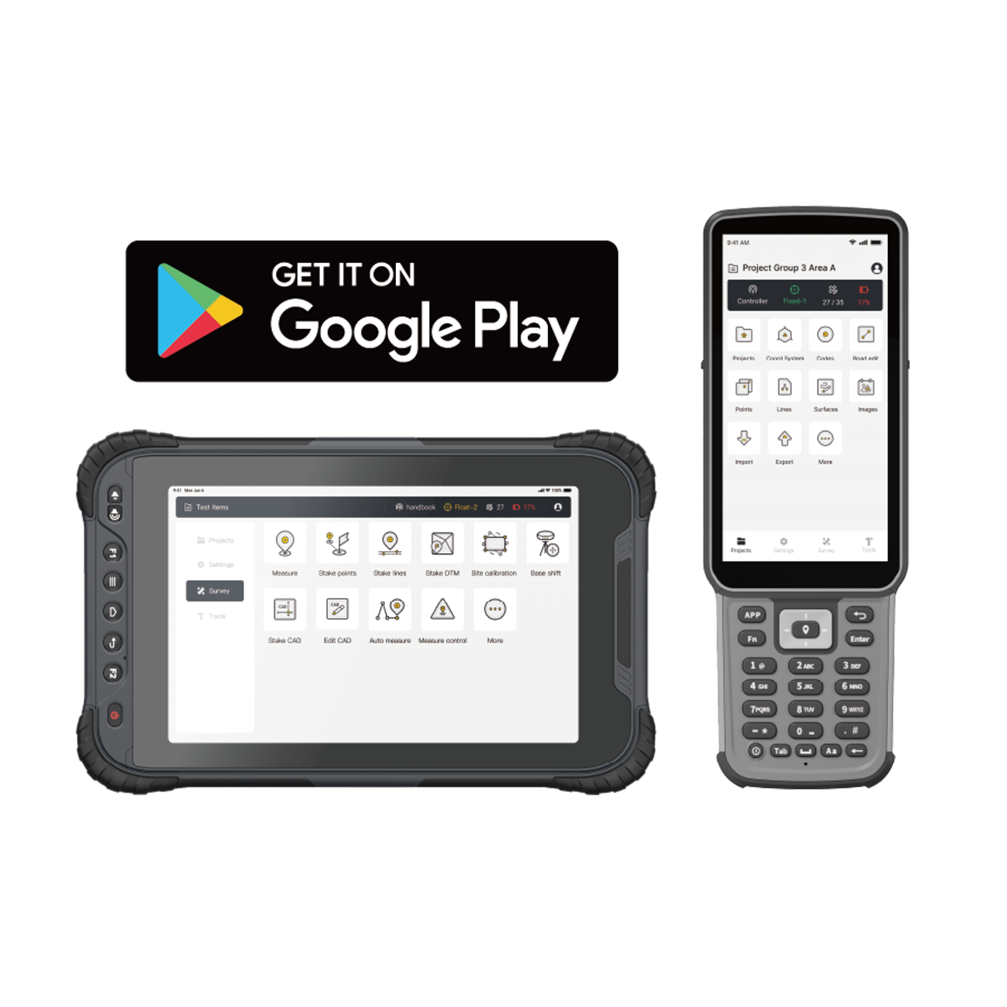
FJD Trion Survey App Introduction
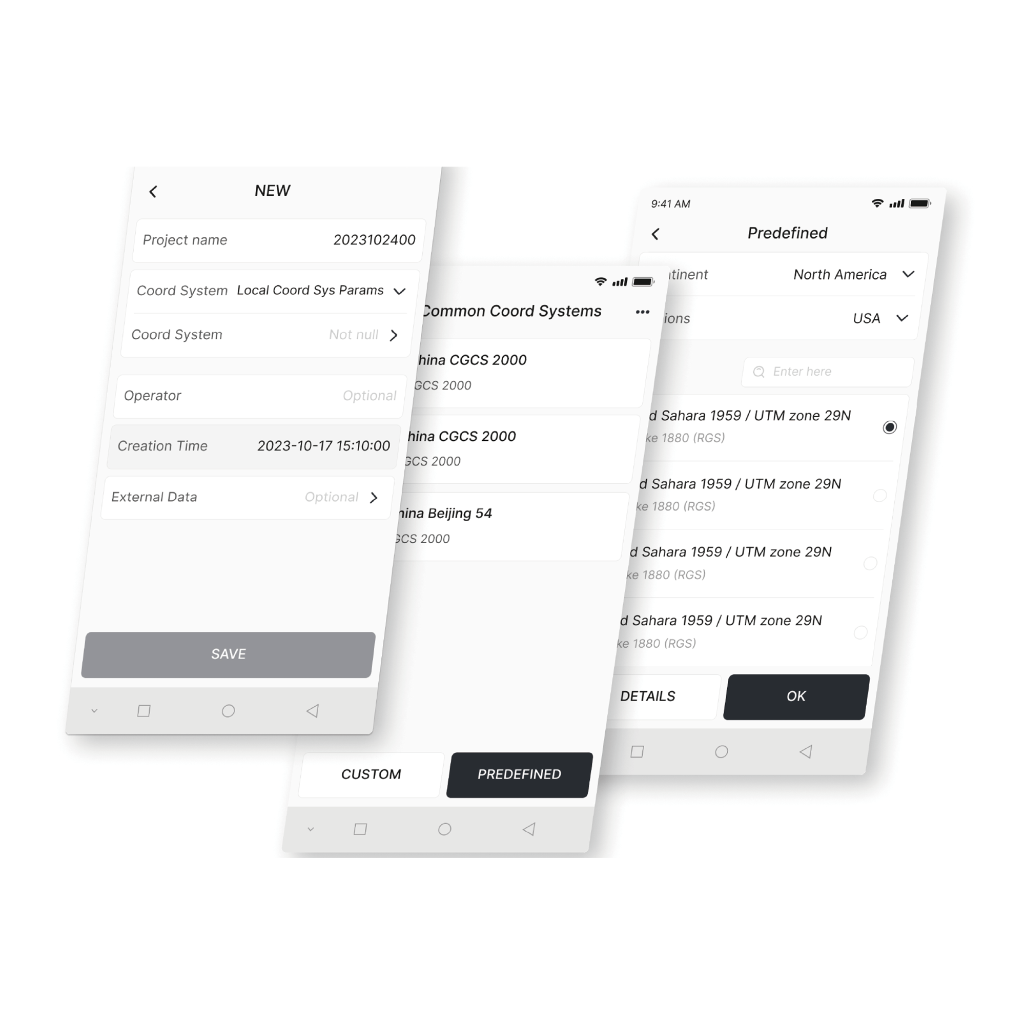
Coordinate Transformation
Create various plane and elevation models with over 8,000 coordinate systems, 70 ellipsoids, and 30 projections. You can also handle geoid corrections to meet your regional needs.
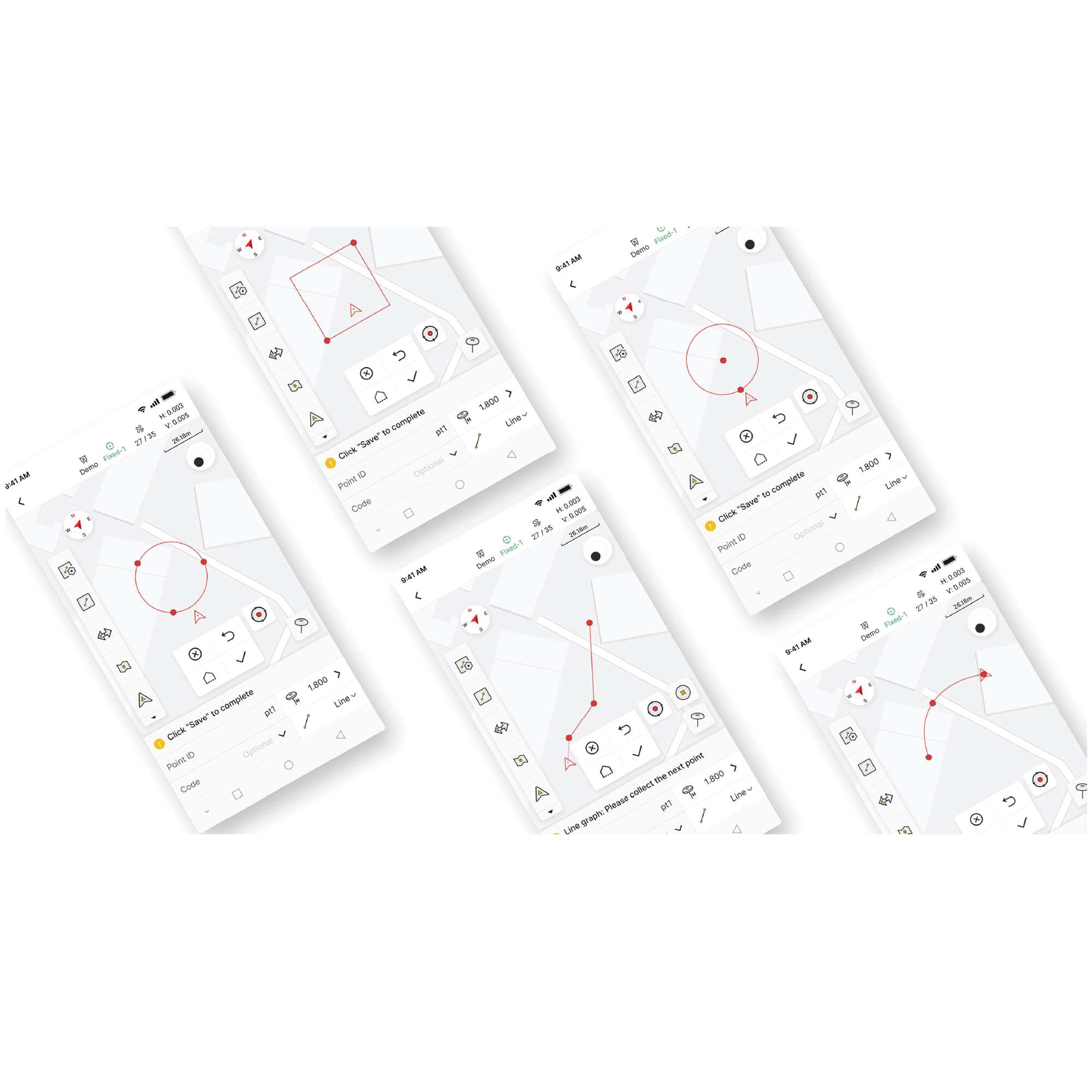
Measure & Draw
Get accurate positioning data and measure/draw 10 common shapes (including polylines, circles, and rectangles). You can also make code-based measurements with clear graphic categories to speed up post-survey mapping.
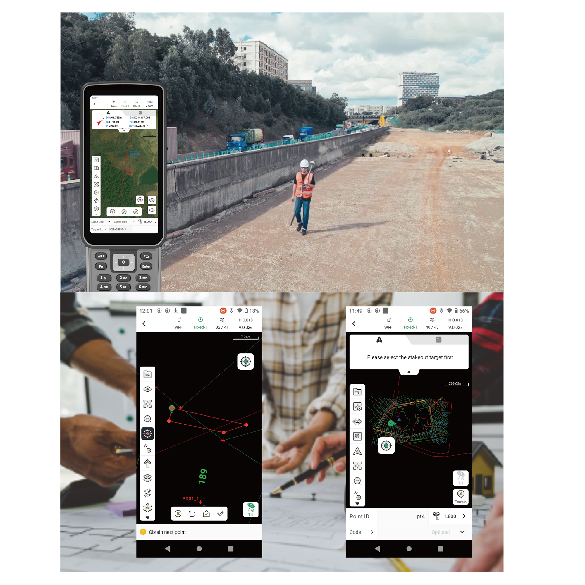
Efficient Staking & Smooth Coordination
After you process data in the Survey App, you can add custom labels and quickly export it into common CAD files for fast field staking. You can also use the app to view road details like station equations, alignments, cross-sections, and slopes. Once you've confirmed the staking information is correct, you can export it as a LandXML road file for fast sharing and smooth coordination.
Adaptable for Global Use
By supporting 16 languages, the Trion Survey App lets you process terrain data collected from V4E in your preferred language. Plus, you can freely switch between landscape and portrait modes for better data display and viewing on the 8-inch UA80 and 10-inch D10. This simplifies your workflow from field to processing, quickly getting your data ready for the next project.
Download
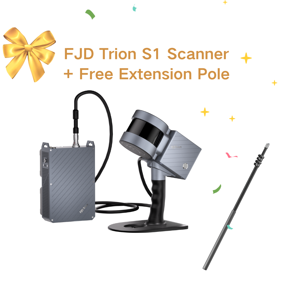
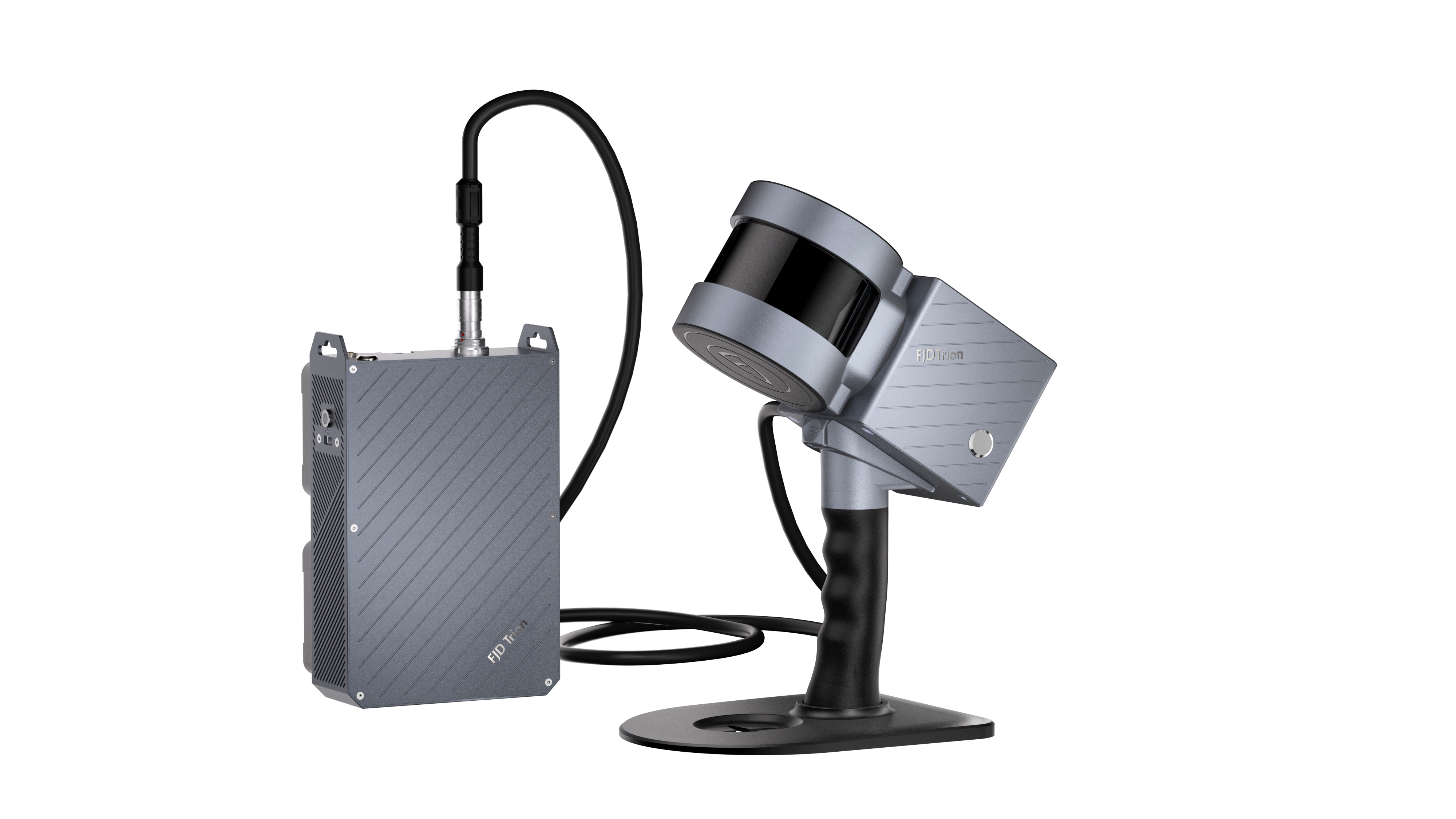
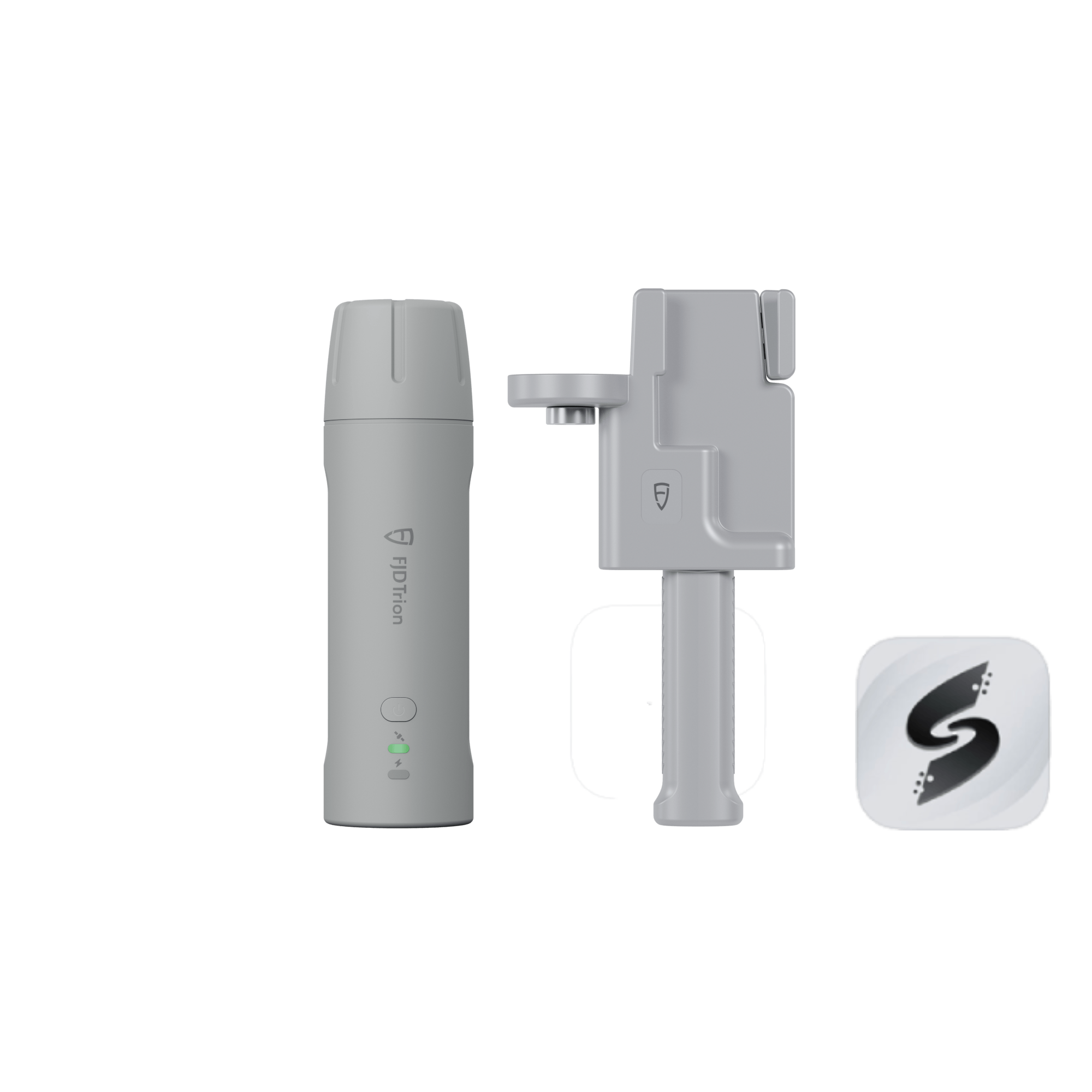
Packing List
 |  |  |
V4E / V4e PRO *1 | Charging Cable *1 | Screw Adapter *1 |
Specifications
 |
 |
FAQs
Is this RTK receiver included with the Trion V4e LiDAR?
Yes. This RTK receiver is included with the Trion V4e LiDAR Kit.
What is the difference of V4e Standard and V4e Pro?
The V4e Pro builds upon the V4e Standard, adding laser range finding and tilt measurement for more advanced surveying needs, making it ideal for complex or precise projects.
How to upload the boundary created by V4e to the navigation system terminal?
Using the Survey APP or the corresponding App.
How to use this product?
A user manual is included with the product. You can also refer to the video.
Can V4e be used as a UAV (Unmanned Aerial Vehicle) base station?
No. Because V4e does not have a network module or a radio station.
Does V4e have a radio station?
No. It is recommended to use Ntrip (Networked Transport of RTCM via Internet Protocol).
How to upload the boundary and baseline data generated by V4e to the navigation kit terminal?
Create the baseline and boundary using the FieldFusion App, then select to sync them to the bound terminal.
When using the V4e Pro for laser measurement, the laser point jitters and cannot be stabilized. Are there any accessories to stabilize the device and ensure the laser point stays fixed on the measurement position?
V4e supports two measurement methods: (1) Inclinometer measurement with a centering rod, which meets the user’s need for stable measurement of specific points. (2) Laser inclinometer measurement, which is suitable for scenarios where users do not want to use a centering rod or where the centering rod cannot reach.
Currently, when V4e is used with Trion Survey, what is the compatibility like? Are there any important functions that are not yet supported?
Trion Survey APP is the supporting software for V4e, and there are no compatibility issues.
Can V4e be used in an environment with no network at all? And can it perform PPK (Post-Processed Kinematics)?
It is recommended to use V4e in an environment with a network. PPK is not supported.
Can V4e store RINEX (Receiver Independent Exchange Format) data?
No.
After connecting V4e Pro to FJD Trion Scan, what is the data format of the exported points?
.las (a common format for storing lidar point cloud data)
Any question?
You can contact us through our contact page! We will be happy to assist you.
You may also like